Uneven Runoff
public mapping projectYEAR:
2020-2021
TYPE:
Research and visualization project in collaboration with a local environmental justice organization in Houston, TX, 2020-2021.
COLLABORATORS:
Rae Atkinson
Mike Wissner
Texas Health and Environment Alliance (THEA)
Spatial Studies Lab
FUNDING:
Diluvial Houston Initiative (Andrew W. Mellon Foundation funding), Rice University AY20-21
LINKS:
StoryMap
Webmap
THEA
Urban Edge
INFO:
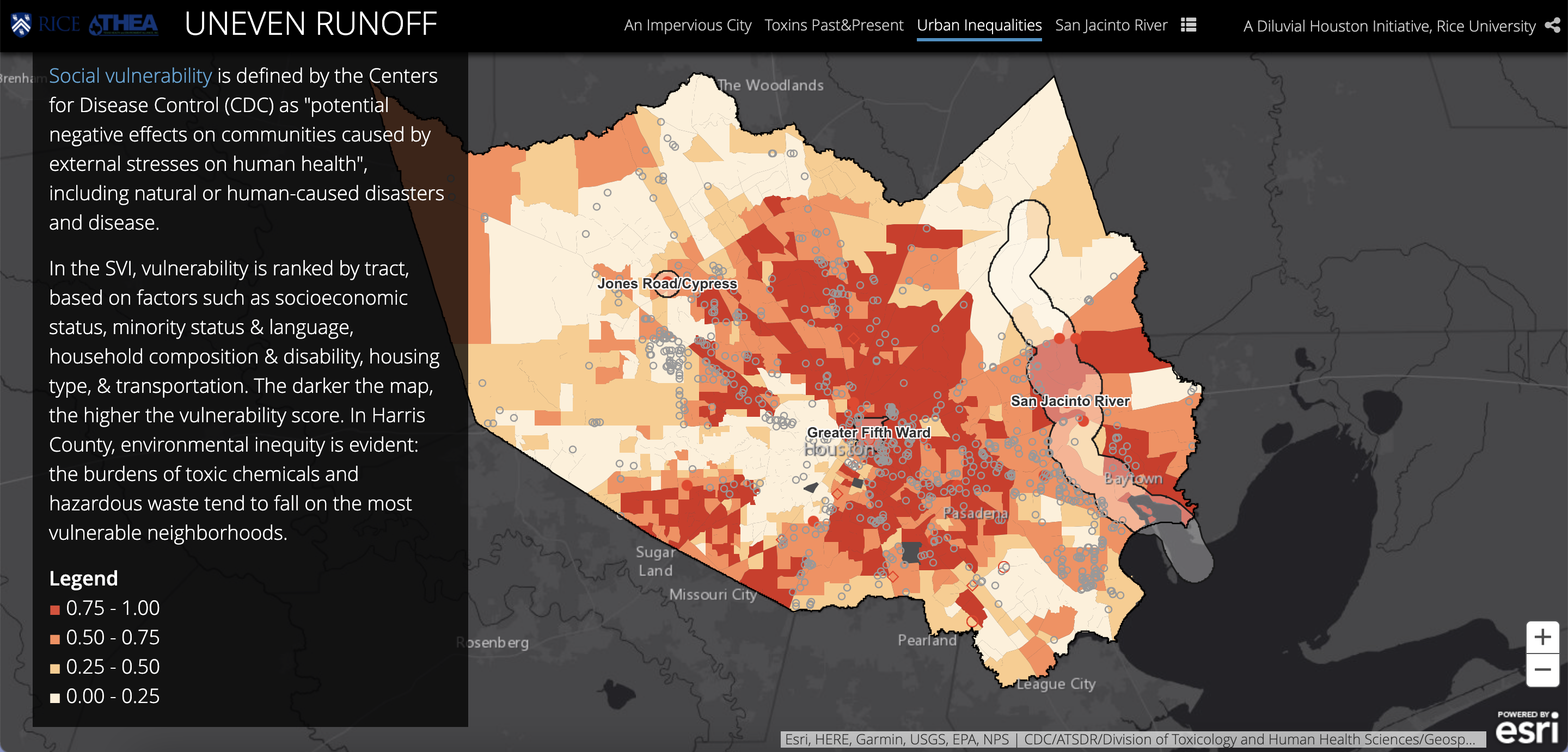
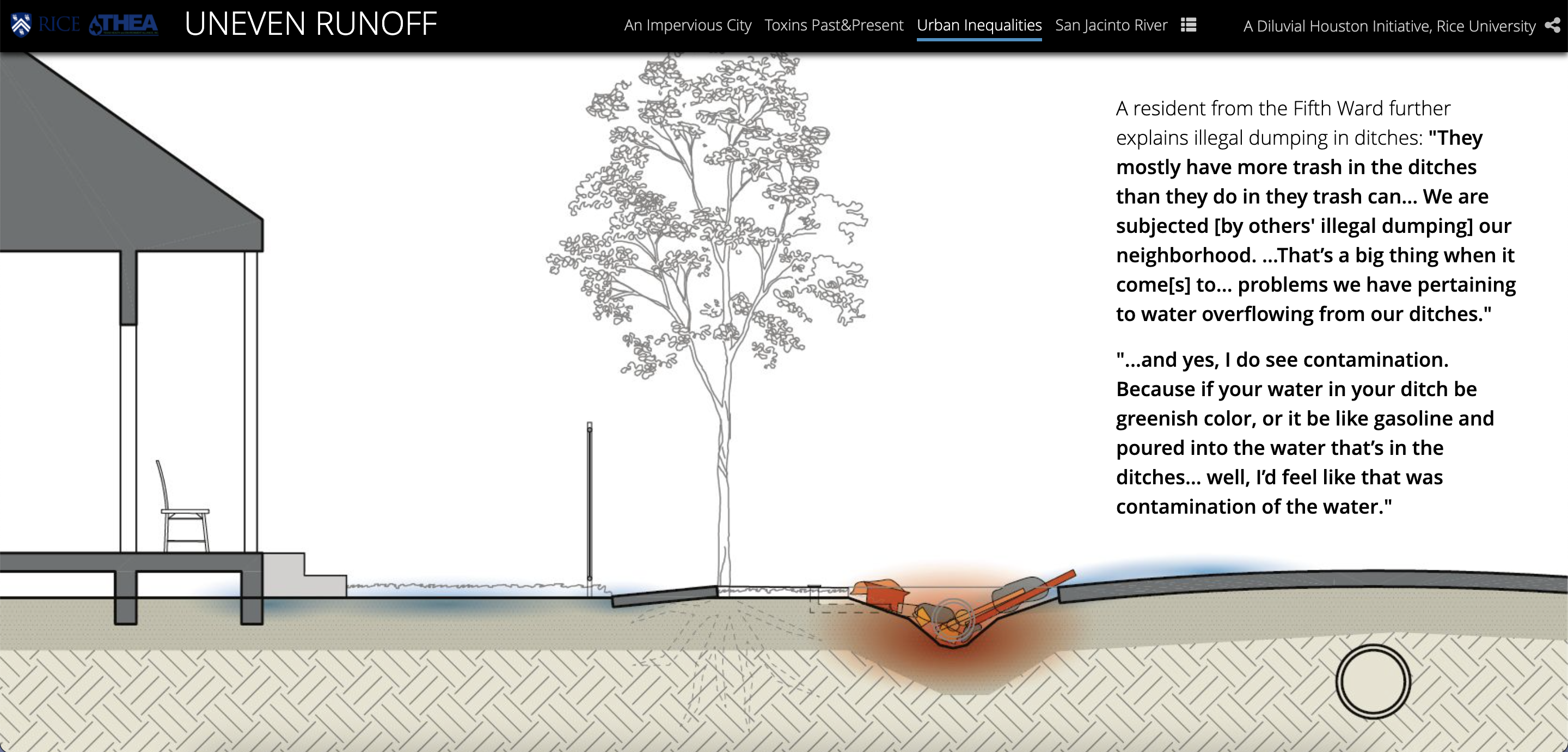
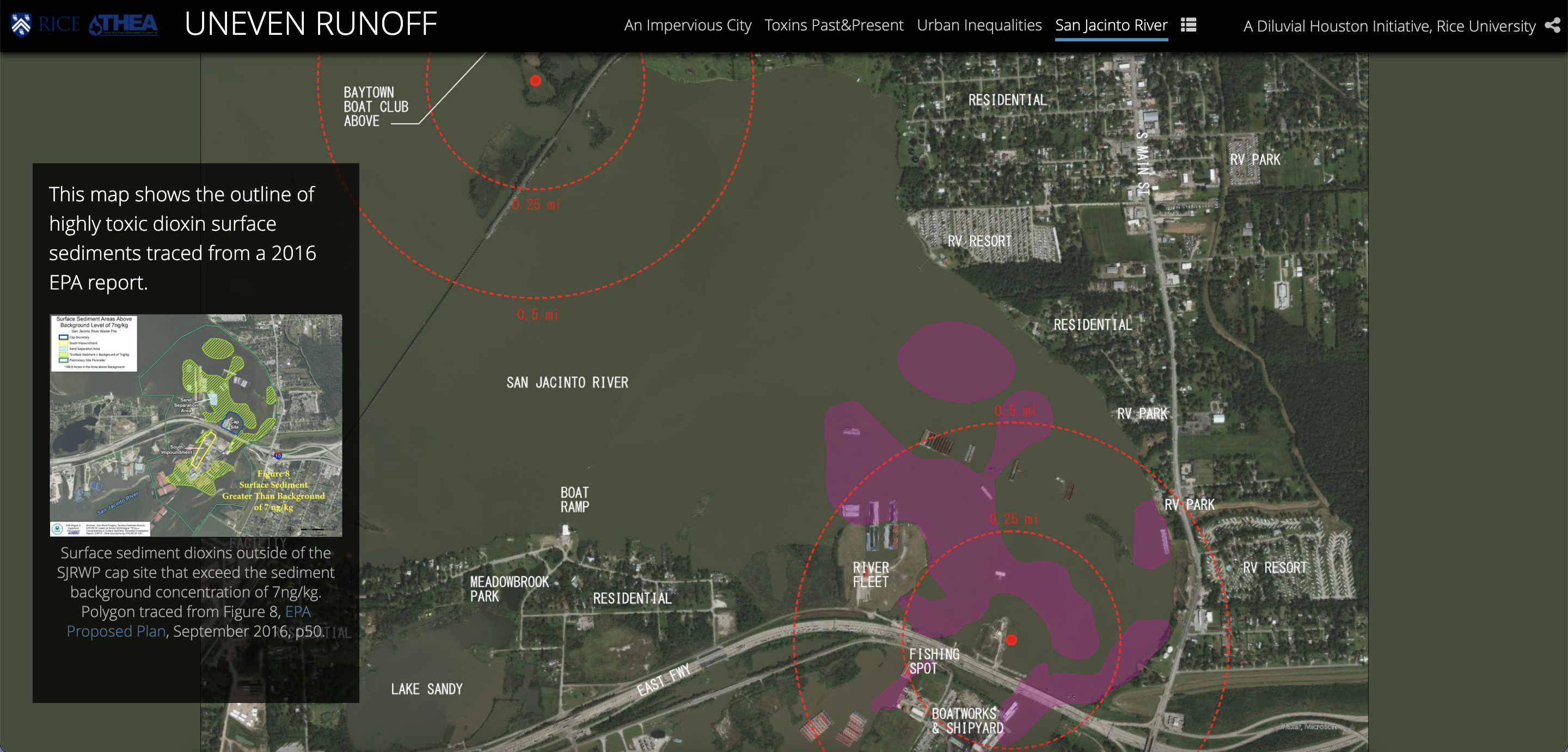
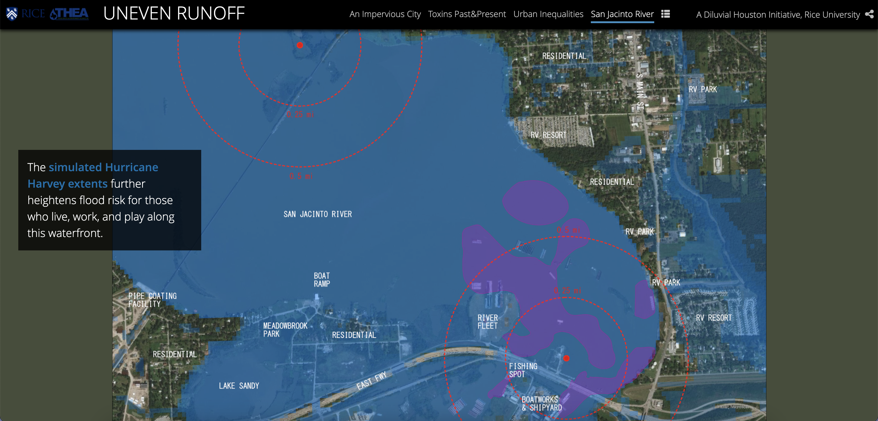
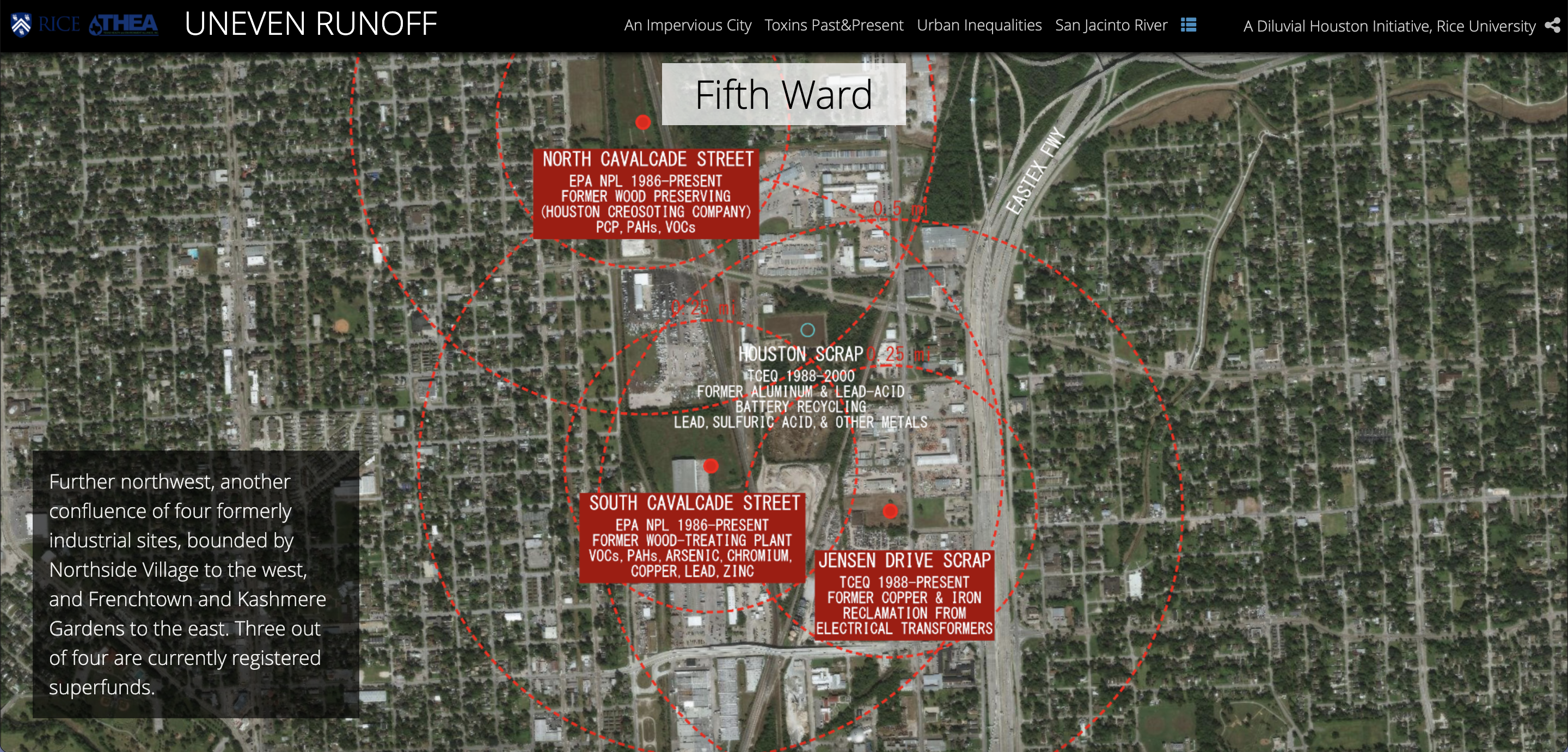
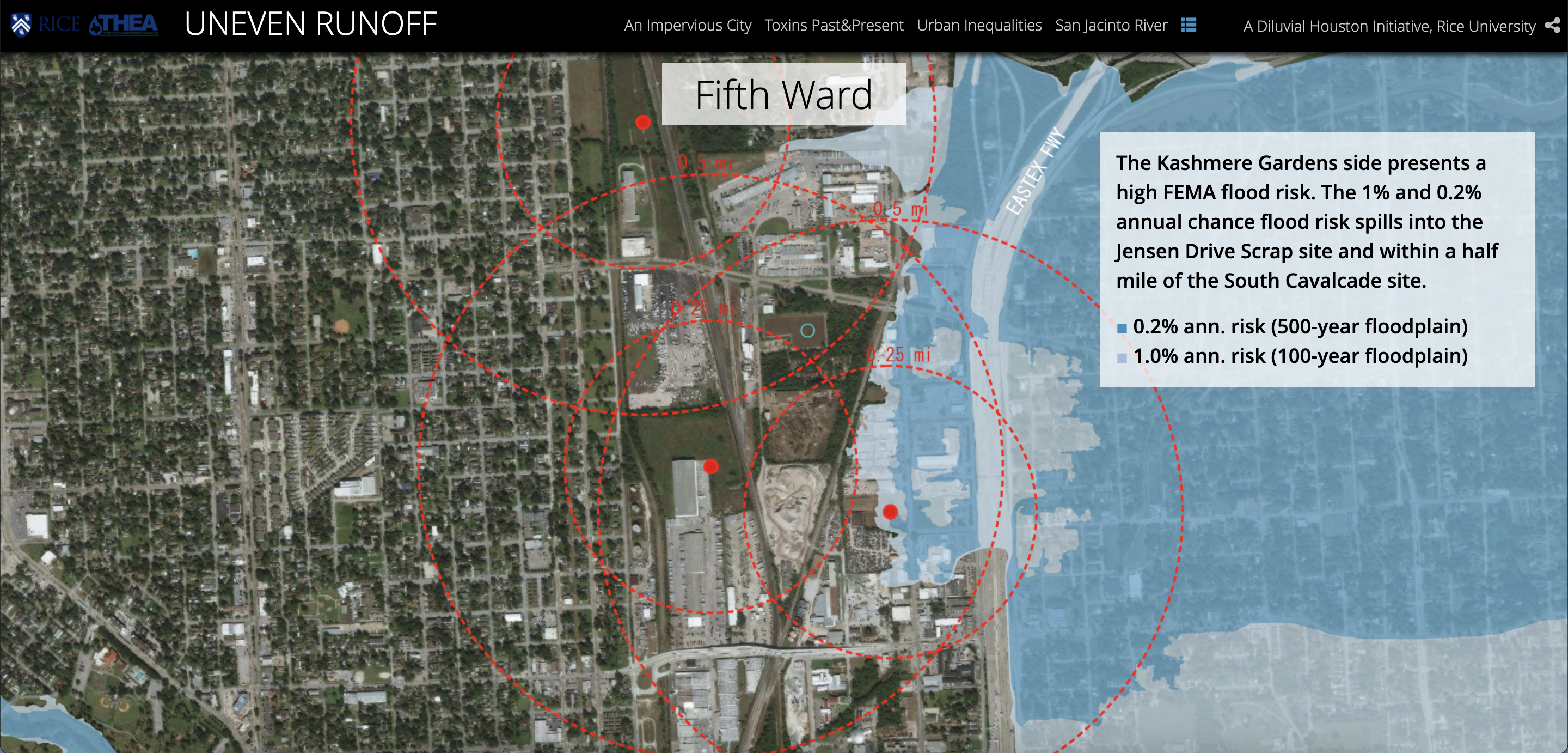
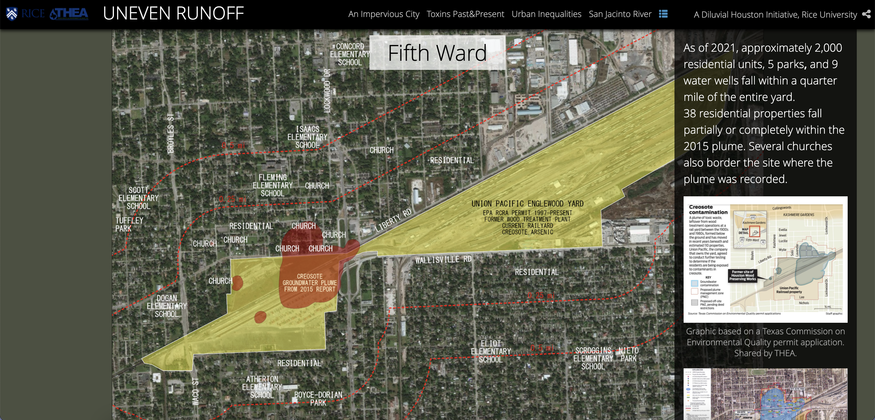
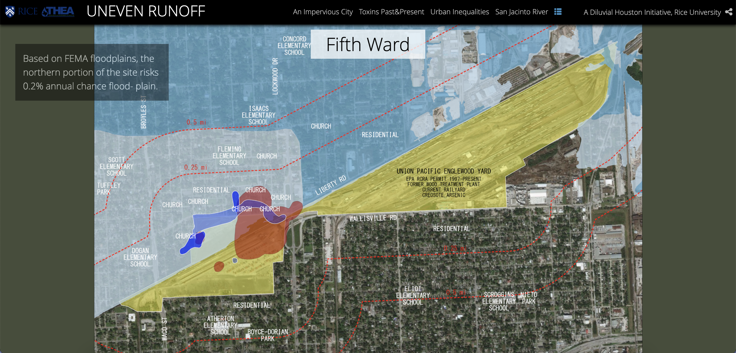
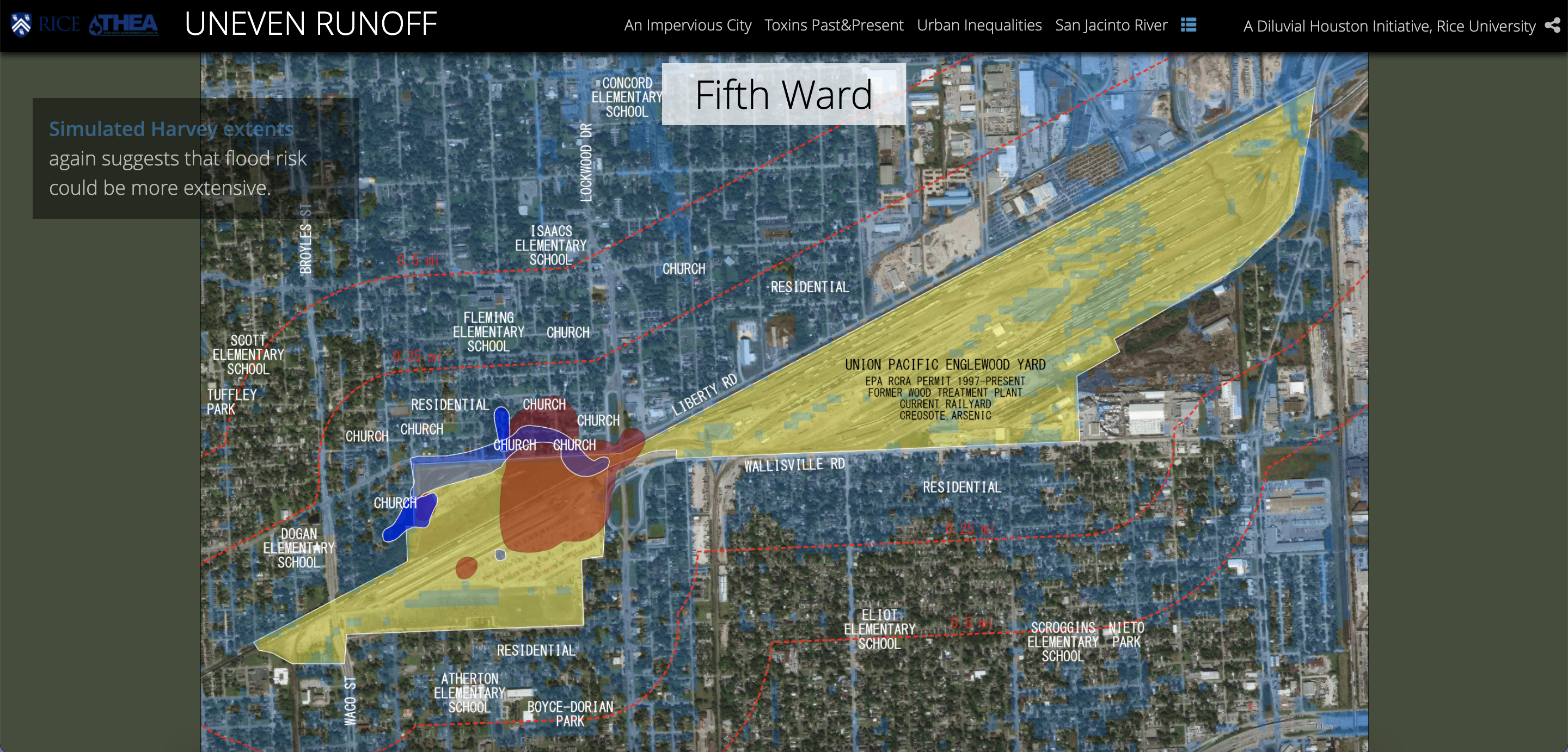
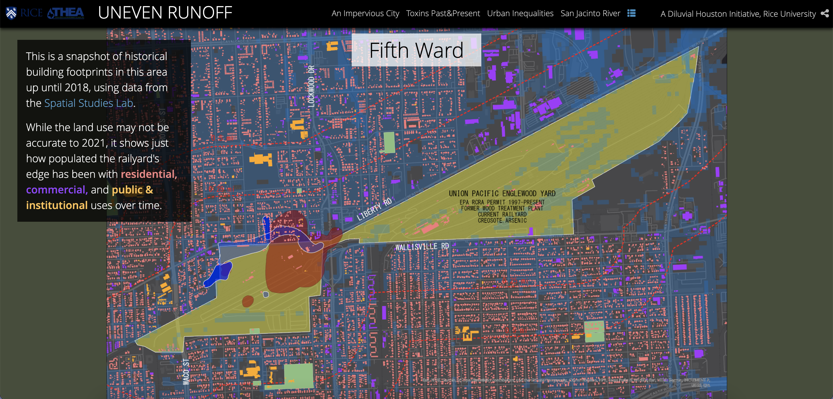
Uneven Runoff seeks to investigate the uneven geographies of industrial pollution and flood risk in Harris County. The research project uses GIS and open-source urban data to map relations between former and current industrial sites and Houston’s most flood-vulnerable neighborhoods.
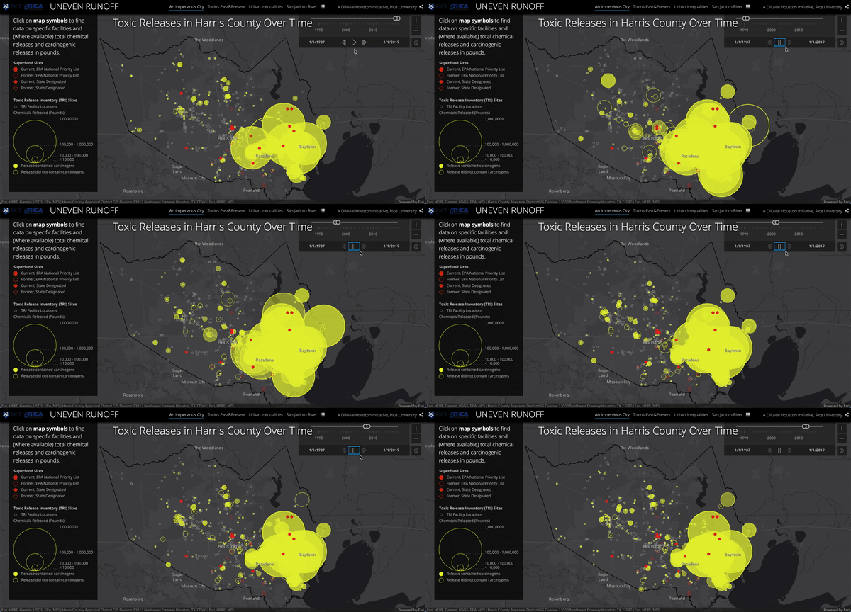
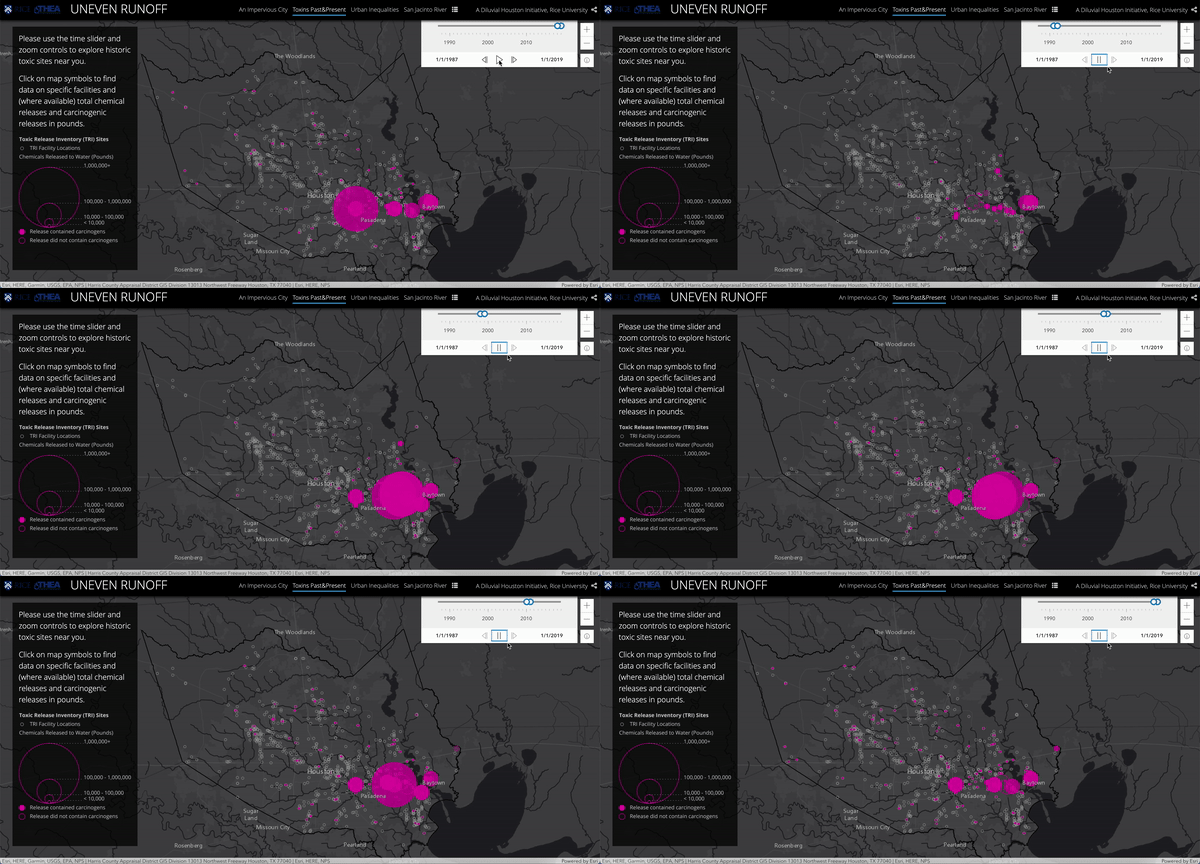
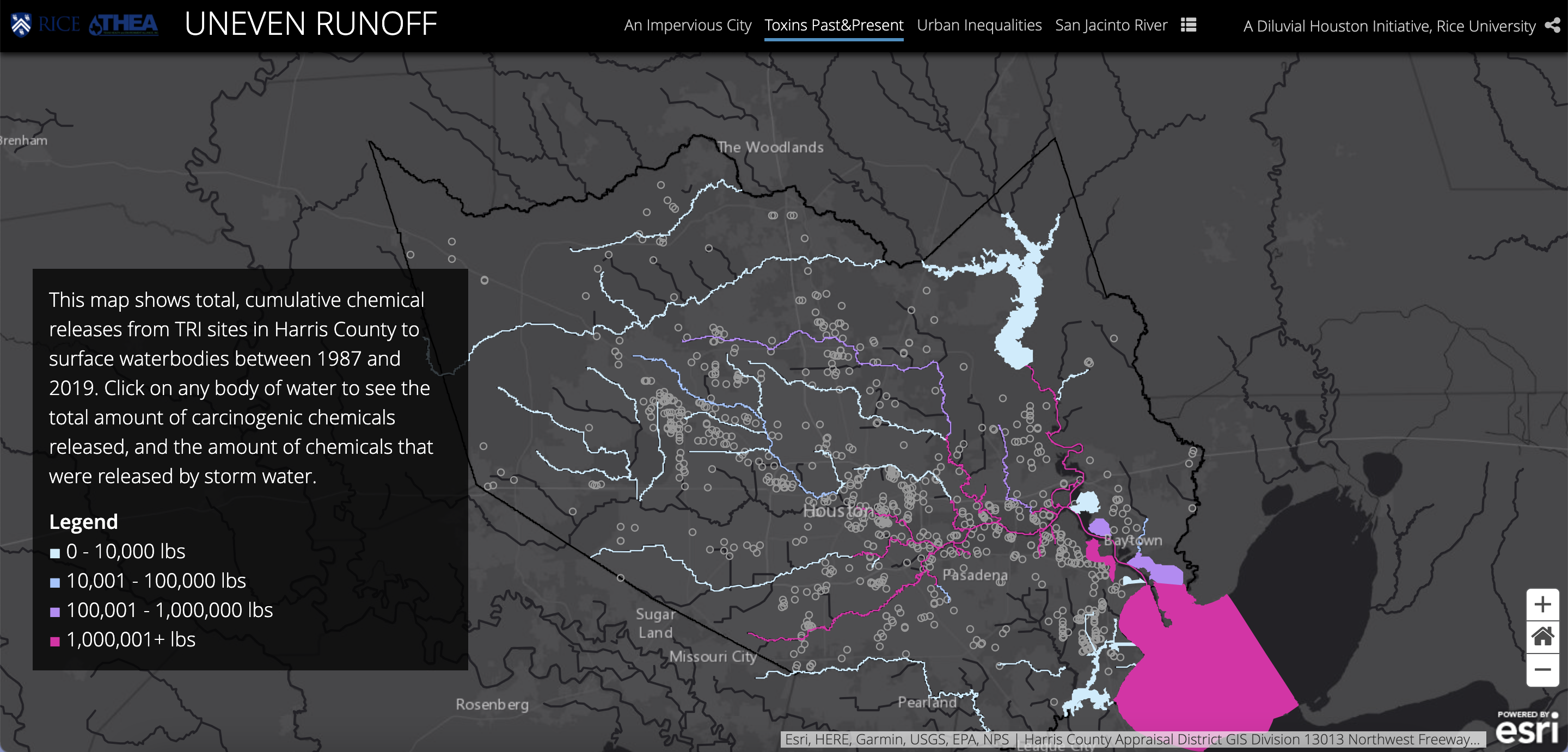
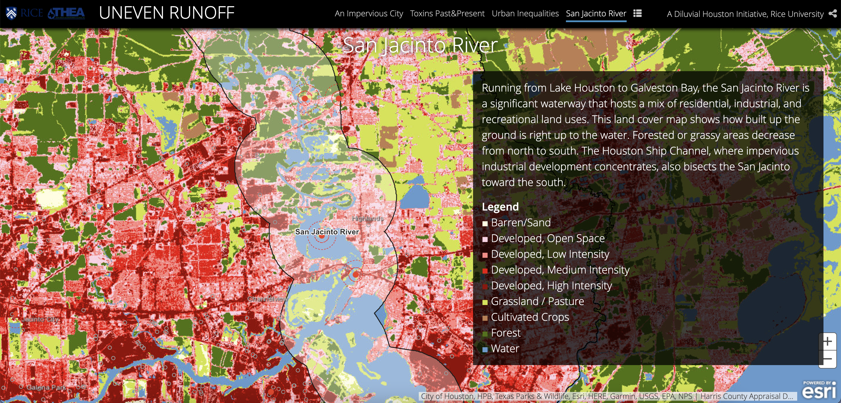
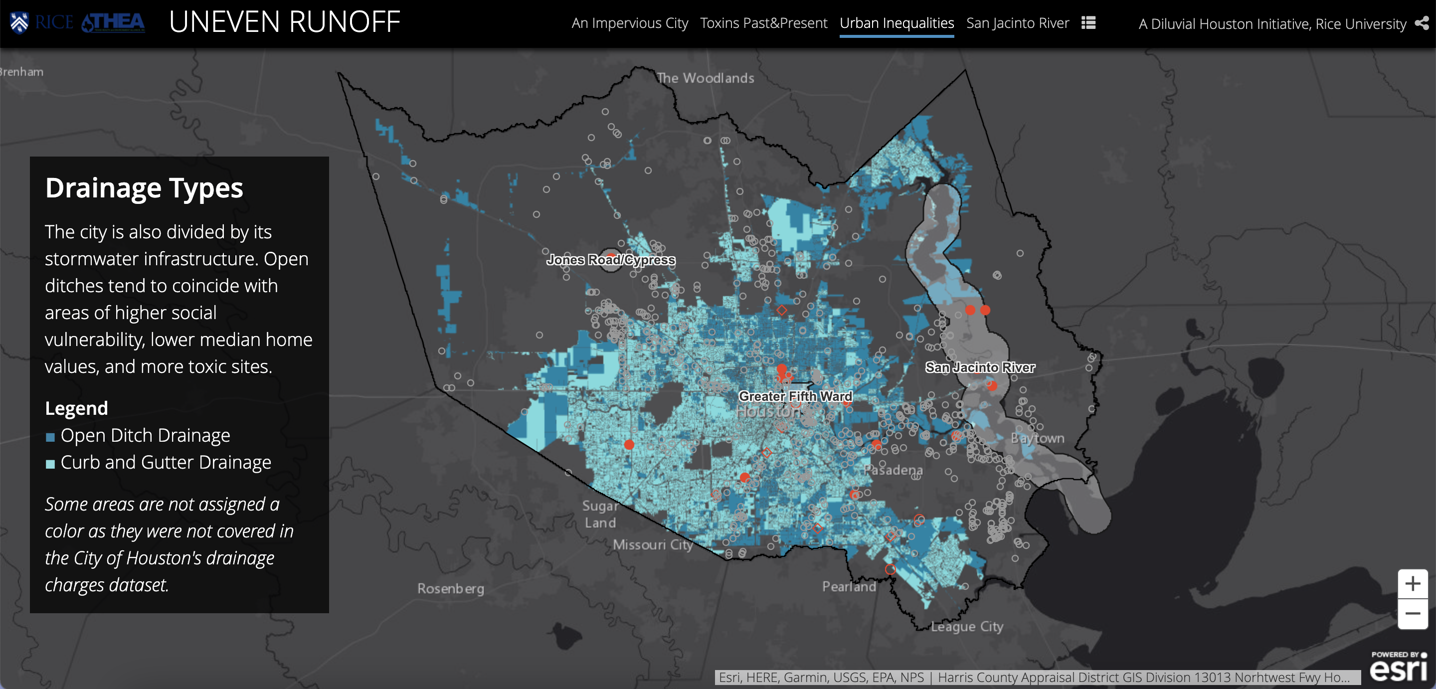
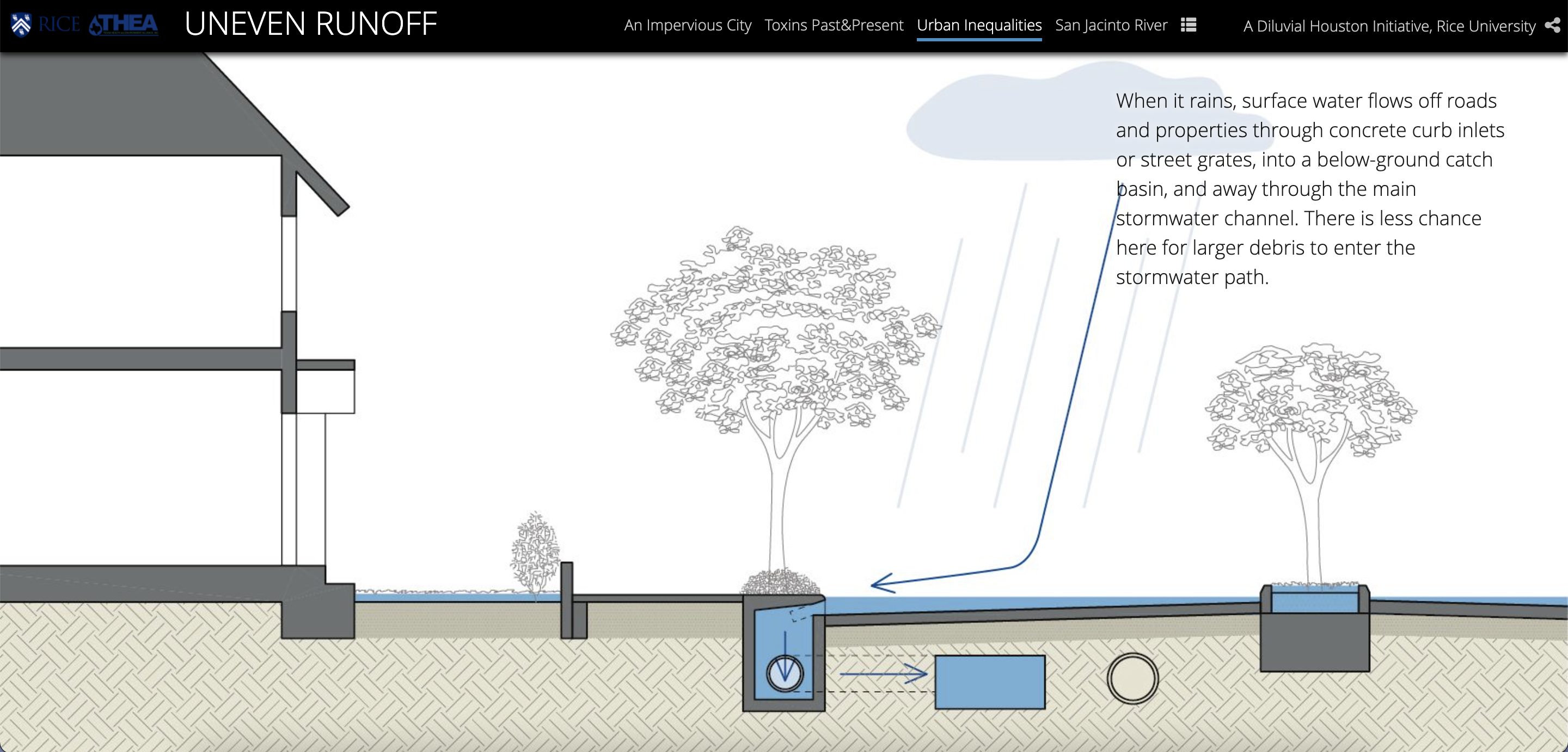
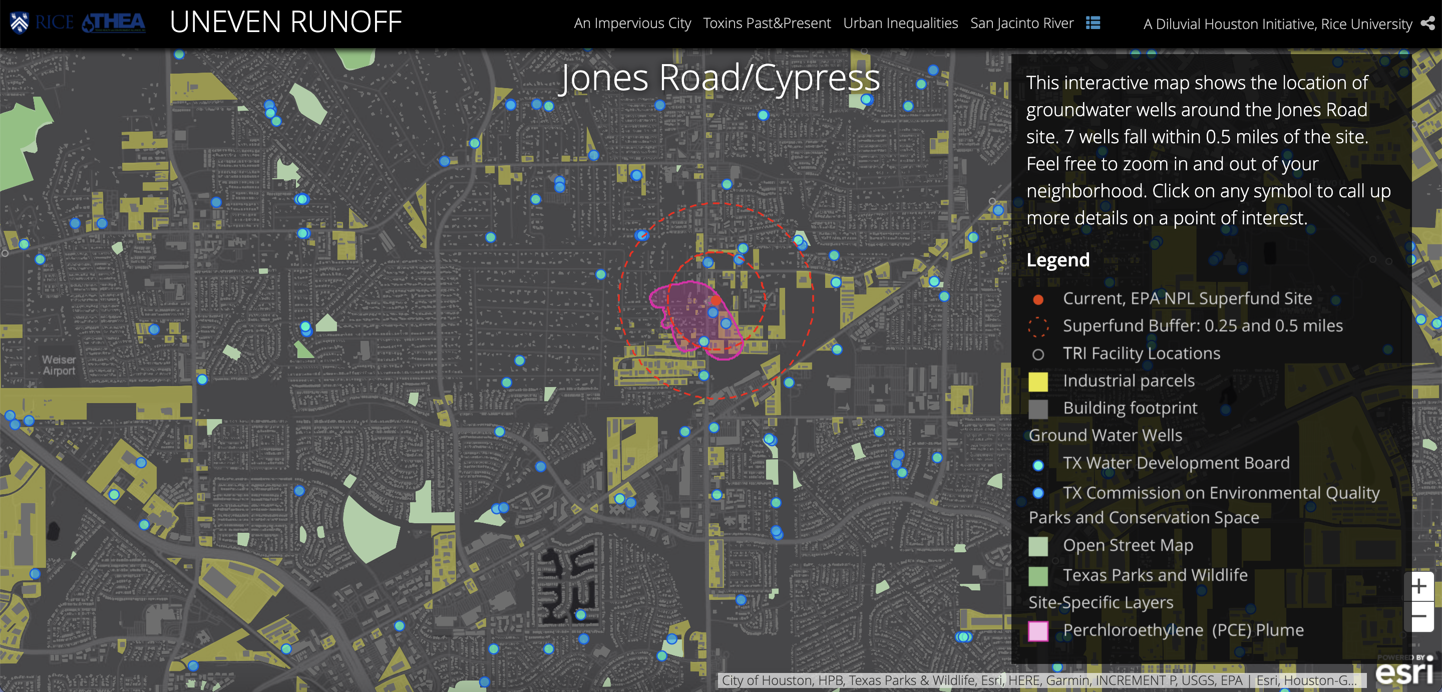
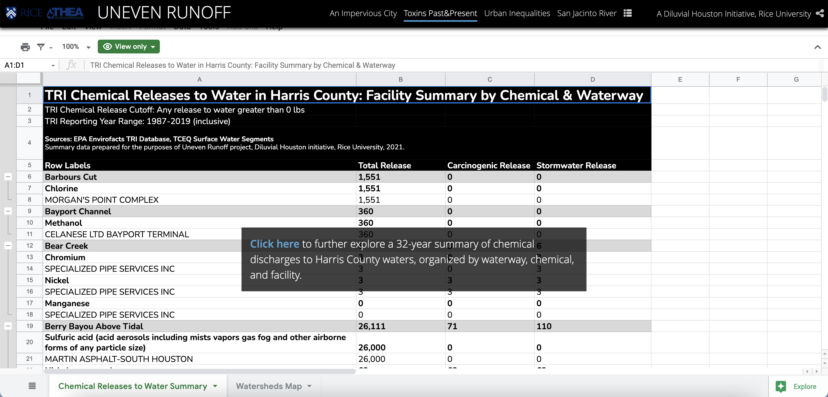
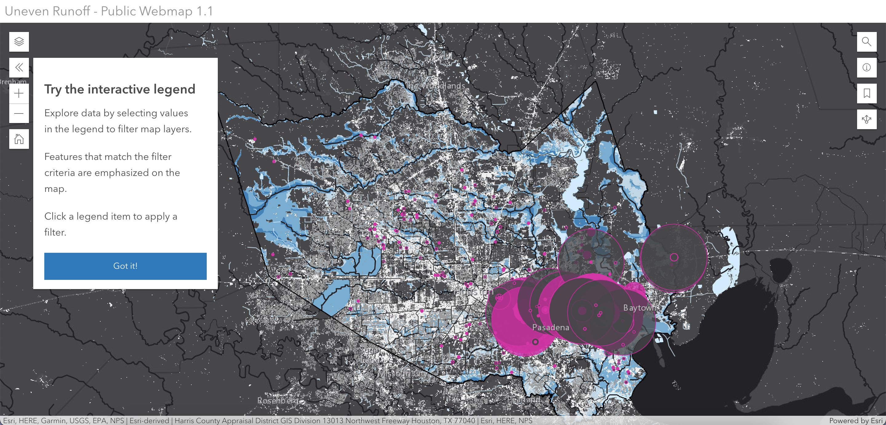
Map layers include industrial parcels, impervious surface density, drainage types, FEMA floodplains vs Hurricane Harvey modeled flood extents, water wells, and type and volume of chemical releases to waterways since 1987. These datasets are visualized and combined in an interactive public webmap for communities and local organizations to explore (typically opaque) industrial data in one’s own neighborhood.
This project is the collective research effort combining backgrounds in data science, geography and architecture.
